


Product details
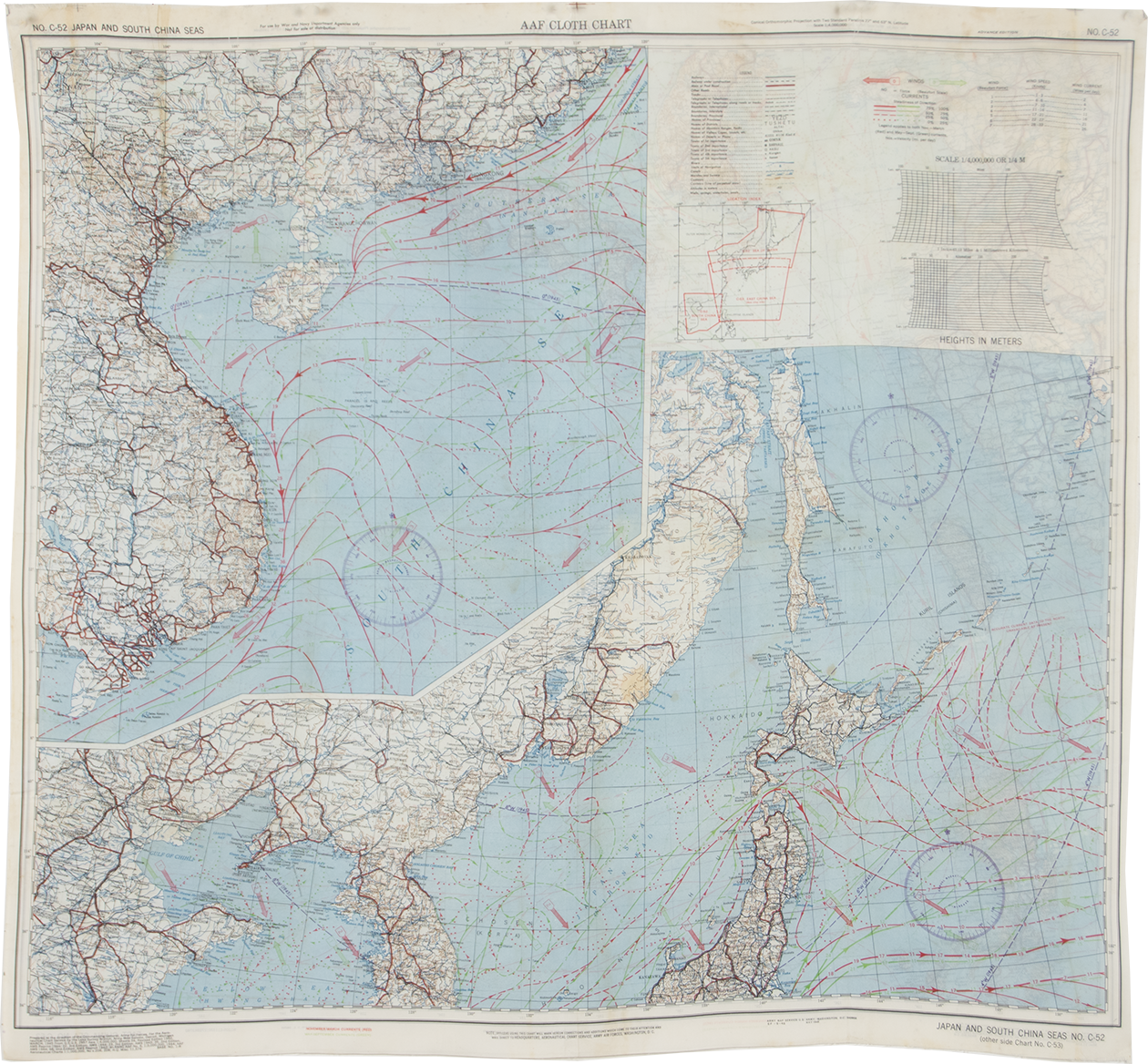
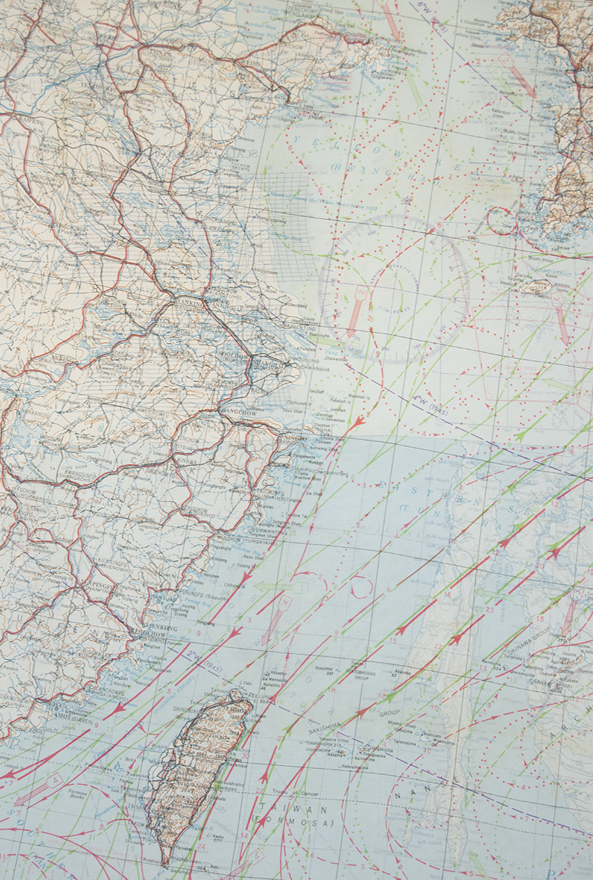
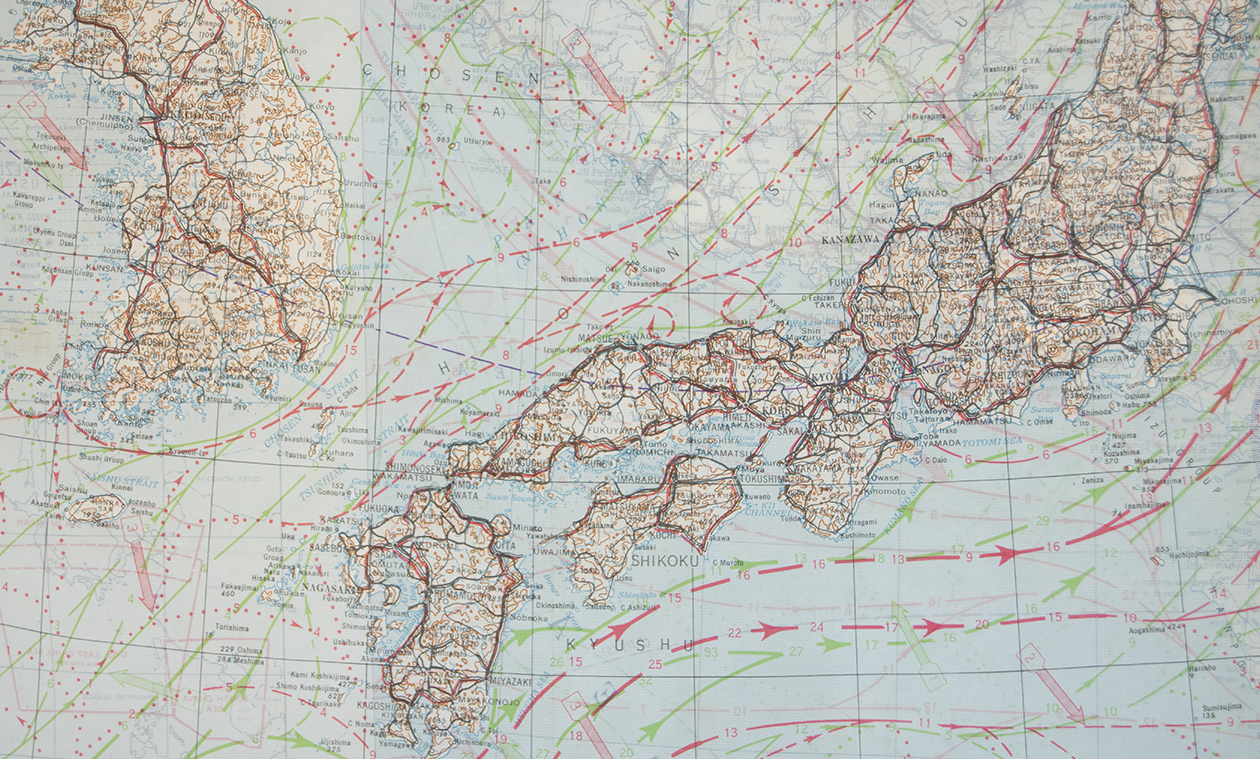
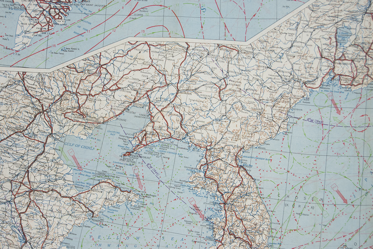
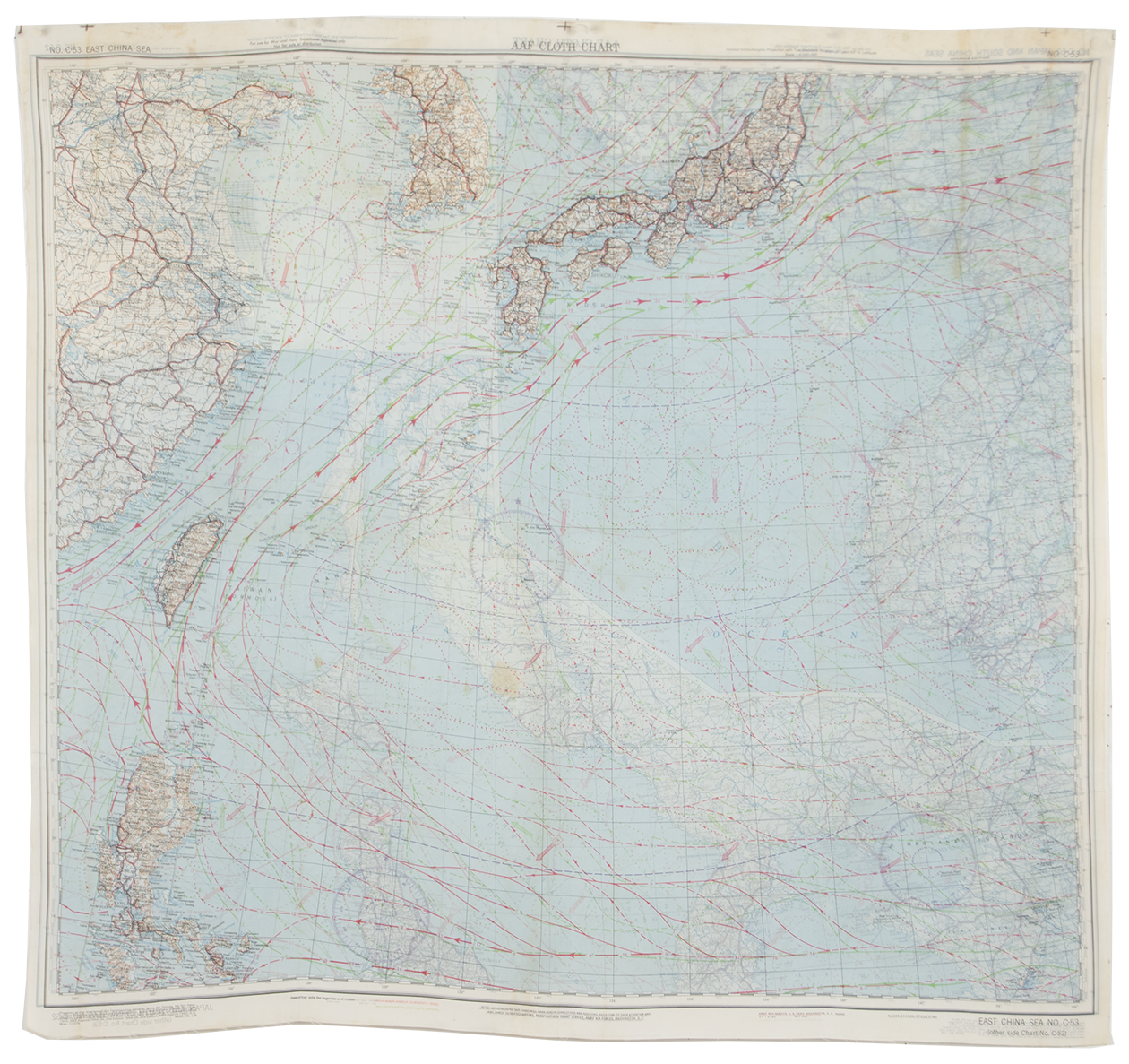
Silk Escape & Evasion Map (Japan and South China Sea)
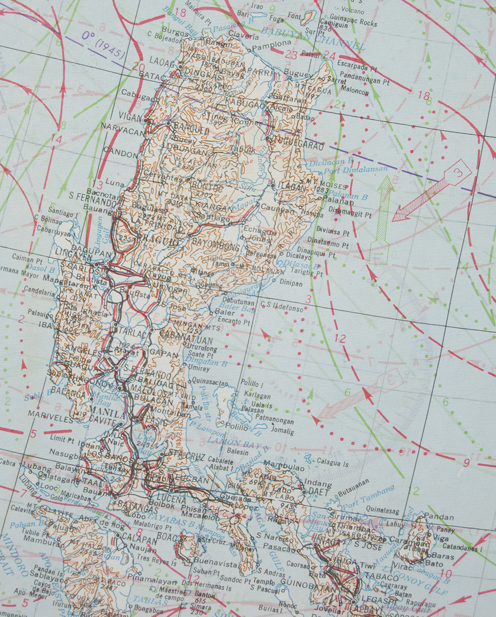
This silk escape and evasion map was made in December 1945 by the Army Map Service of the U.S. army. On the bottom right corner, there is an "SF" which indicates it was printed at Sweeney Lithograph Company of Bellevile, NJ. It was created for the U.S. Army Air Force and features the Southwest Pacific Area. Silk maps were originally developed during World War II to help British soldiers escape enemy territory or POW camps, and continued to be produced after the War ended in both Great Britain and the U.S.
These silk maps were developed for MI9 by Charles Clayton Hutton to help British troops find their way back to their regiments if their planes were shot down in hostile territory or if they were captured in POW camps. Hutton had to find a material that was water-resistant, crease-resistant, and could be easily hidden and noiselessly manipulated. After extensive testing, Hutton found the perfect material: silk. Printed on silk, Hutton's maps could be folded and hidden in boot heels, jacket linings, or even-most ingeniously-Monopoly game boards, and go completely undetected.
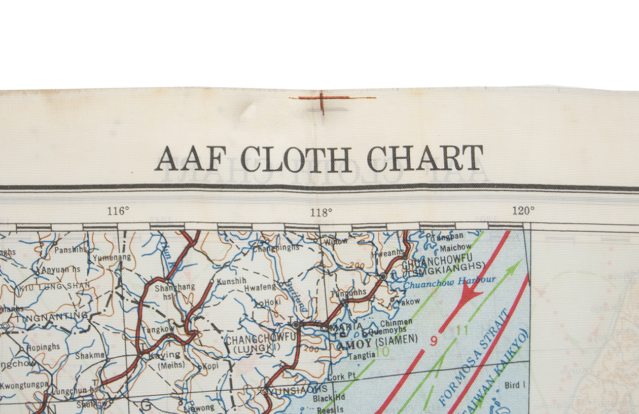
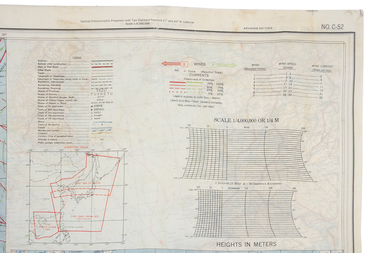
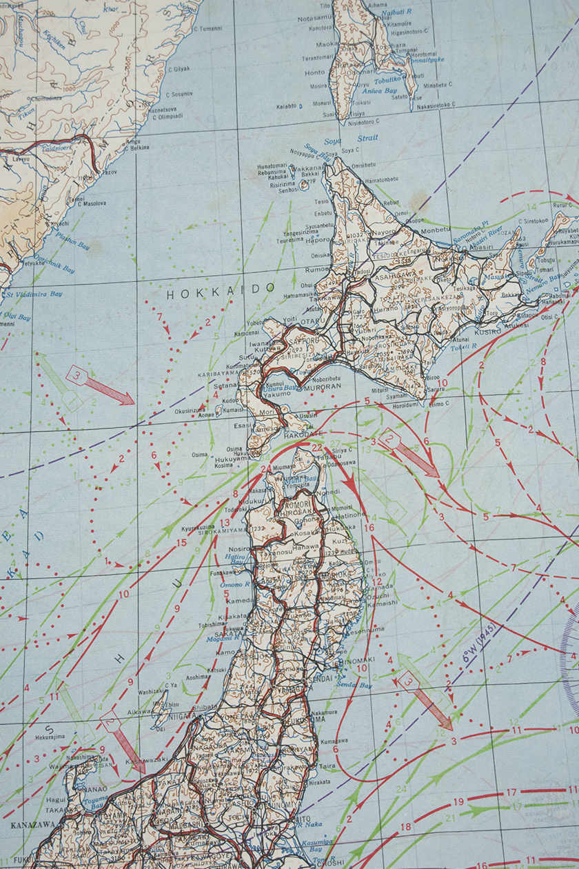
This map features China, Japan, and Vietnam on one side and China, Japan, and the Philippines on the other. The tightly woven silk allows for clear prints, and two easily read sides. Today, it would make a beautiful wall hanging or even an ascot.
The almost perfect condition of this map indicates it was never used for its intended purpose. To see the same map that was used, and printed at a different factory, click here.
Circa: 1945
Origin: USA
Material: Silk
Condition: Excellent
Dimensions: 33" x 30"
Inventory number: TX5047
